

30.7.06
28.7.06


27.7.06


26.7.06


24.7.06


23.7.06
22.7.06


21.7.06
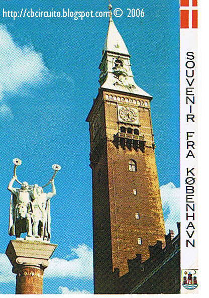
QSL CARD FROM RED DEVIL (COPENHAGEN-DENMARK)

Copenhagen is located on the eastern shore of the island of Zealand (Sjælland) and partly on the island of Amager. Copenhagen faces to the east the Øresund, the strait of water that separates Denmark from Sweden, and that connects the North Sea with the Baltic Sea. On the Swedish side of the sound directly across from Copenhagen, lie the towns of Malmö and Landskrona.
Copenhagen is also a part of the Øresund region, which consists of the eastern part of Zealand in Denmark and the western part of Scania in Sweden.

20.7.06


19.7.06
QSL CARD FROM FOX QUÉBEC (LOCHES-FRANCE)
 Loches is a town and commune in France, capital of an arrondissement in the département of Indre-et-Loire, 29 miles southeast of Tours by railway, on the left bank of the Indre River.
Loches (the Roman Leucae) grew up around a monastery founded about 500 by St. Ours and belonged to the Counts of Anjou from 886 until 1205. In the latter year it was seized from King John of England by Philip Augustus, and from the middle of the 13th century until after the time of Charles IX of France the castle was a residence of the kings of France.

18.7.06


17.7.06
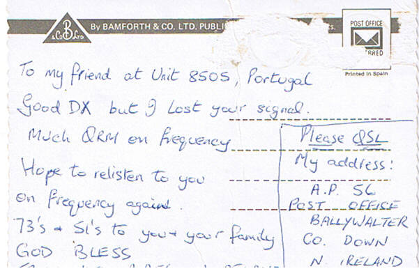
QSL CARD FROM NOEL (COUNTY DOWN - N. IRELAND)

County Down, (Contae An Dúin in Irish) also previously known as county St Mirren, is one of the six counties that form Northern Ireland, covering an area of 2,448 km² (945 square miles). It lies in the province of Ulster. The estimated population in 1992 was 416,600, a more recent approximation puts it at about 516,000.[citation needed] The county town is Downpatrick, and the largest town is Bangor.
Down contains both the southernmost point in Northern Ireland (Cranfield Point) and the easternmost point on the island of Ireland (Burr Point).
The county borders County Antrim to the north, the Irish Sea to the east and County Armagh to the west.
16.7.06


14.7.06


13.7.06
QSL CARD FROM PÓPÓ (PENICHE-PORTUGAL)
 Peniche (pron. IPA: [pɨ'niʃ(ɨ)]) is a seaside municipality in Portugal, with approximately 28,164 inhabitants.
The Berlengas islands are part of the municipality, off the coast of Peniche. They are one of the world's first protected areas, the Berlengas nature reserve. During summer, the islands can be visited taking a ferryboat from Peniche.
Peniche is known for its long windy beaches, sought for recreational activities and sports as surf, windsurf or kite surf.Peniche have very good waves.Supertubos is the most popular wave in the region, with very fast and powerful(tubular) waves, one of the best in europe,some call it the "European Pipeline".

Subscrever:
Mensagens (Atom)


.jpg)